
Centralised storage
Collects original images, exterior orientation parameters, orthophotos, mesh models and DSM data in one system.
Solution
Centralised management of UAV photogrammetry data for teams across different departments.
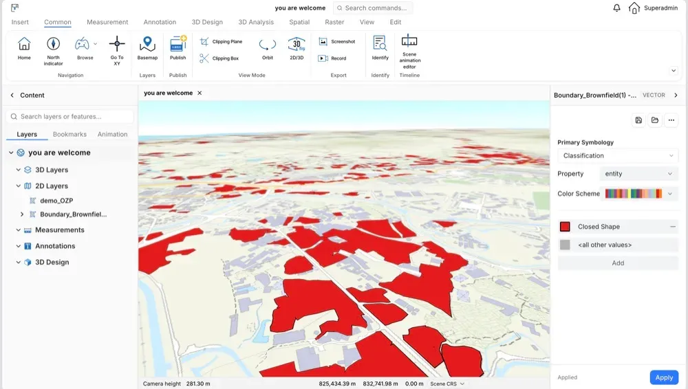
The UAV photogrammetry data management solution focuses on centralised and efficient management of aerial survey data. It integrates data collected by UAV teams from different departments and provides retrieval and management services for each department.
The goal is to put photogrammetry data to work across fields instead of leaving it in separate disks and folders.
Collects original images, exterior orientation parameters, orthophotos, mesh models and DSM data in one system.
Find data by flight altitude, date, location, address or area.
View data types without downloading, and share them between departments.
Download the data needed for local processing and analysis.
We can arrange a targeted demo around your data, devices and workflow.