
Multi-user, multi-project management
Supports multiple users and projects in parallel so several projects can be delivered at the same time.
Digital twin service base
Management for projects, data, resources and users across the GeoTwin spatial twin platform.
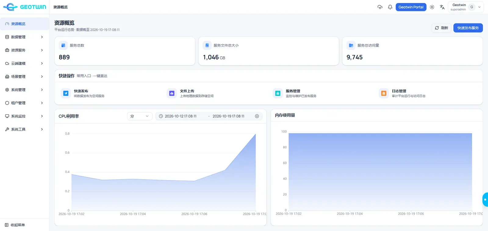
At the heart of the GeoTwin spatial twin computing platform, GeoTwin Server provides management for projects, data, resources and users. Designed to edit, publish and manage geospatial data, it offers comprehensive geographic information services to users.
With powerful data service capabilities, flexible configuration options and unmatched scalability, it is the ideal solution for spatial data sharing and application, enabling collaboration and maximizing operational efficiency.
Supports multiple users and projects in parallel so several projects can be delivered at the same time.
Covers file management, resource publishing, scene building and data sharing in one workflow.
High performance, high concurrency and high availability for spatial information services.
Protection from storage and transmission through to the client, keeping data secure.
We can arrange a demo around your data and deployment conditions.