
Cooperative command sandbox
3D situational view with collaborative plotting.
Low-altitude flight operations
A command sandbox and portable dock for route planning, automatic flight and AI detection.
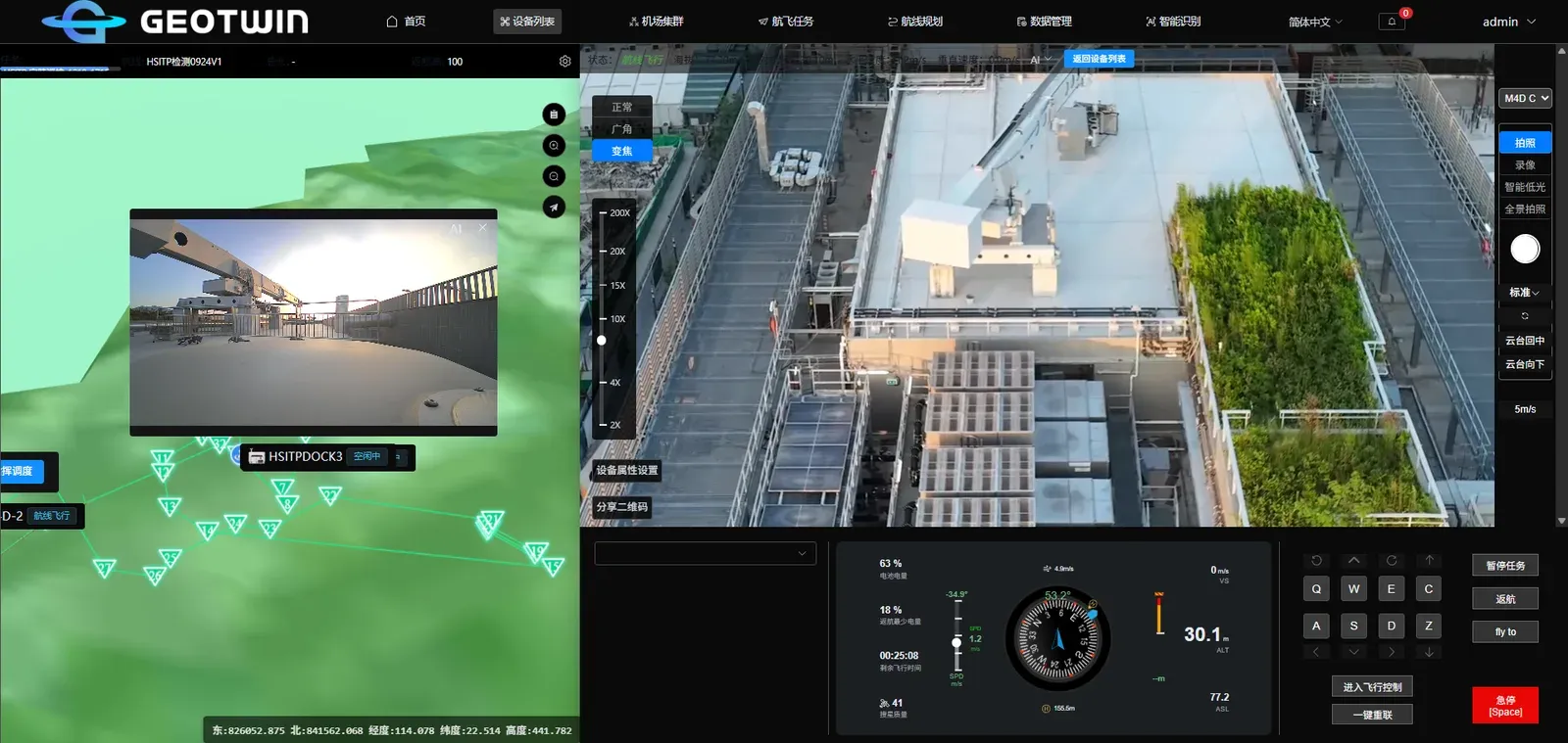
GeoFly combines a command sandbox with a portable dock. The sandbox visualises the operating area in 3D and connects devices, video and mission data in one view.
Operators plan routes, dispatch missions and review results; the portable dock provides a flexible take-off and landing site without a fixed installation.
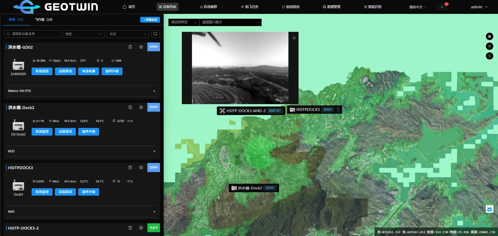
3D situational view with collaborative plotting.
Monitor aircraft and docks, and control flights remotely.
Create missions, plan routes and execute them automatically.
Multi-channel video return with AI detection and result archiving.
A mobile take-off and landing site for locations without fixed infrastructure.
We can arrange a demo around your data and deployment conditions.